01What's included
What you get, and what it's for.
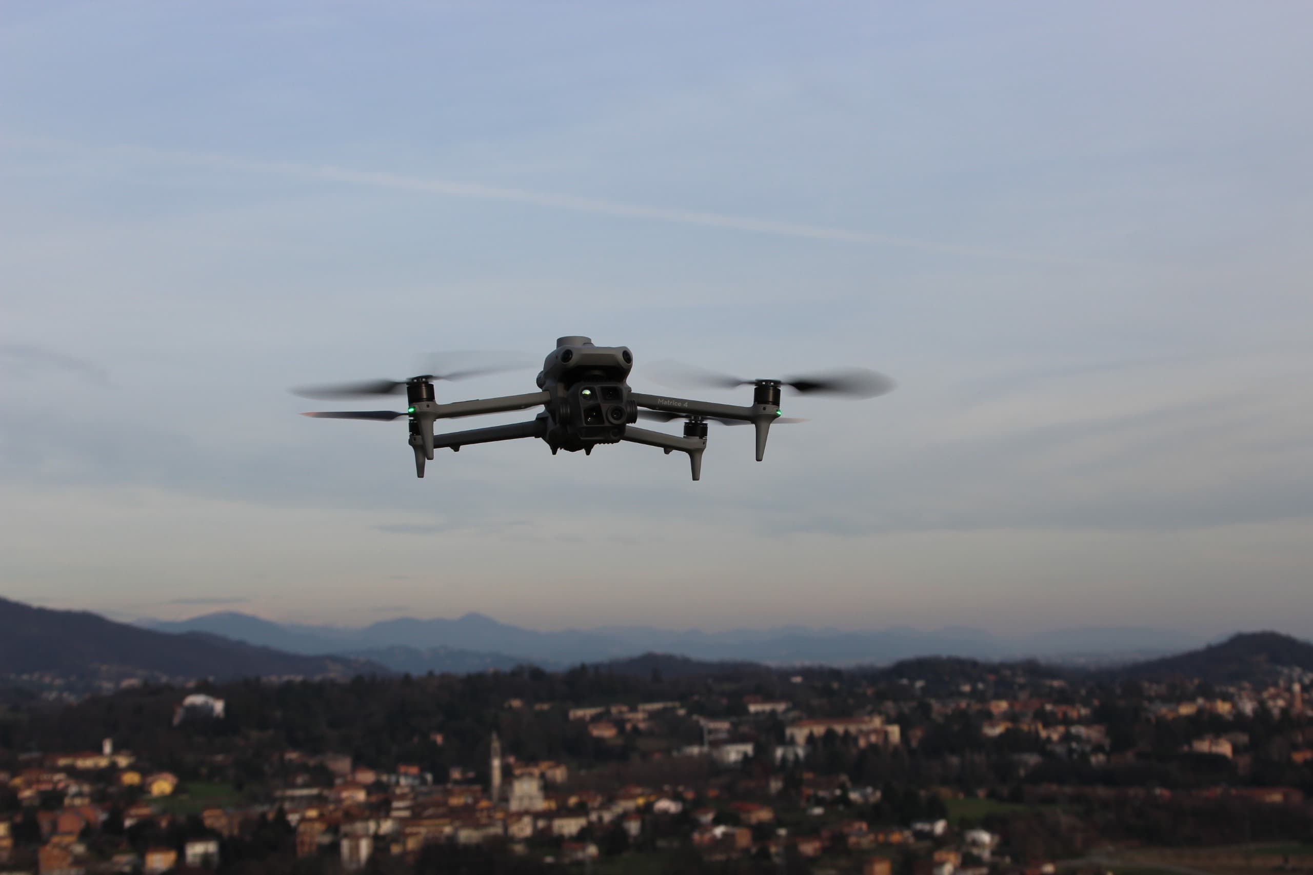
Complete survey of buildings, plants and infrastructure with millimetric precision: from structural geometry to the external envelope. The final result is a high-definition photorealistic 3D model, navigable directly in the browser without additional software.
- Included deliverablesAs-built BIM, georeferenced point cloud, measurable orthophotos, CAD vector restitution.
- ApplicationsTechnical appraisals, structural monitoring, base for designers, civil infrastructure and network surveys.
02Other services
The other two services or a check first.
03Request a quote
Let's talk about your project.
Fill in the form with your request details. A FlyTech technician will reply within 2 business days with a tailored quote — no commitment and no call centre.
- No commitmentThe form is a quote request. It does not generate any contract or purchase obligation.
- Response within 2 business daysFlyTech technicians will analyse the request and prepare a tailored quote.
- No call centreYou will be contacted directly by a technician, not a salesperson.
- All-inclusive quoteThe quote clearly states the intervention costs and travel expenses. No surprises.